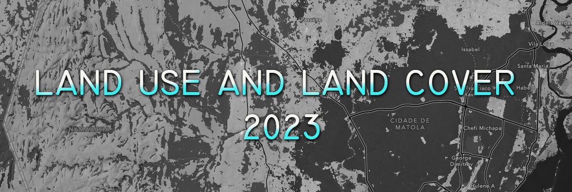
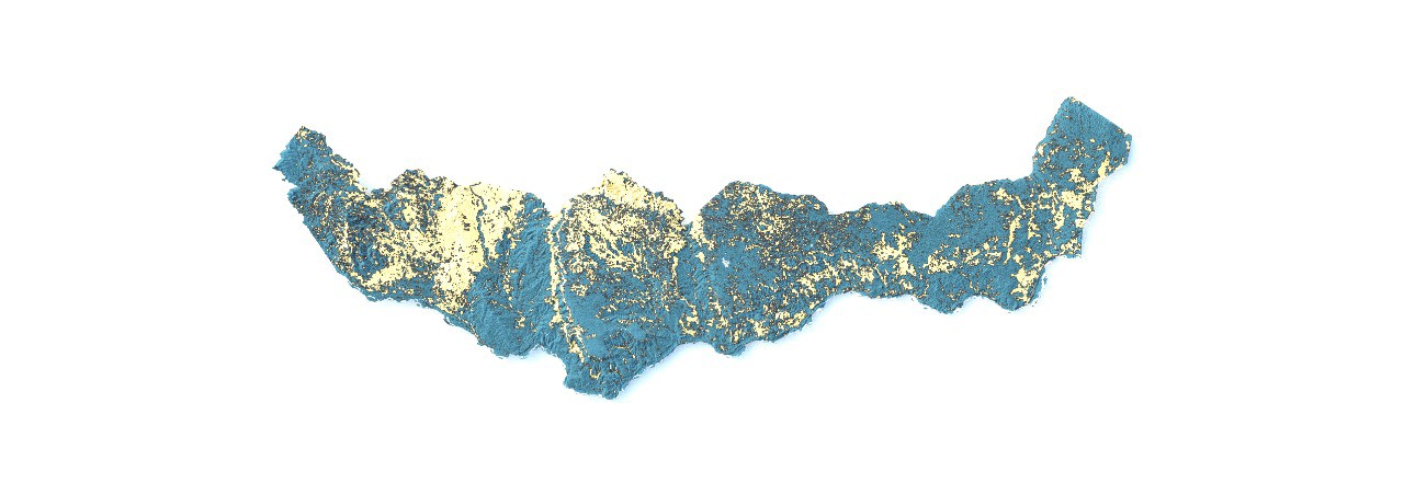
This map highlights areas vulnerable to flood risk in the Beira region and surrounding areas, including the District of Tica... Read more »
November 29, 2024 • in SIG • 0 min read • 0 Comments
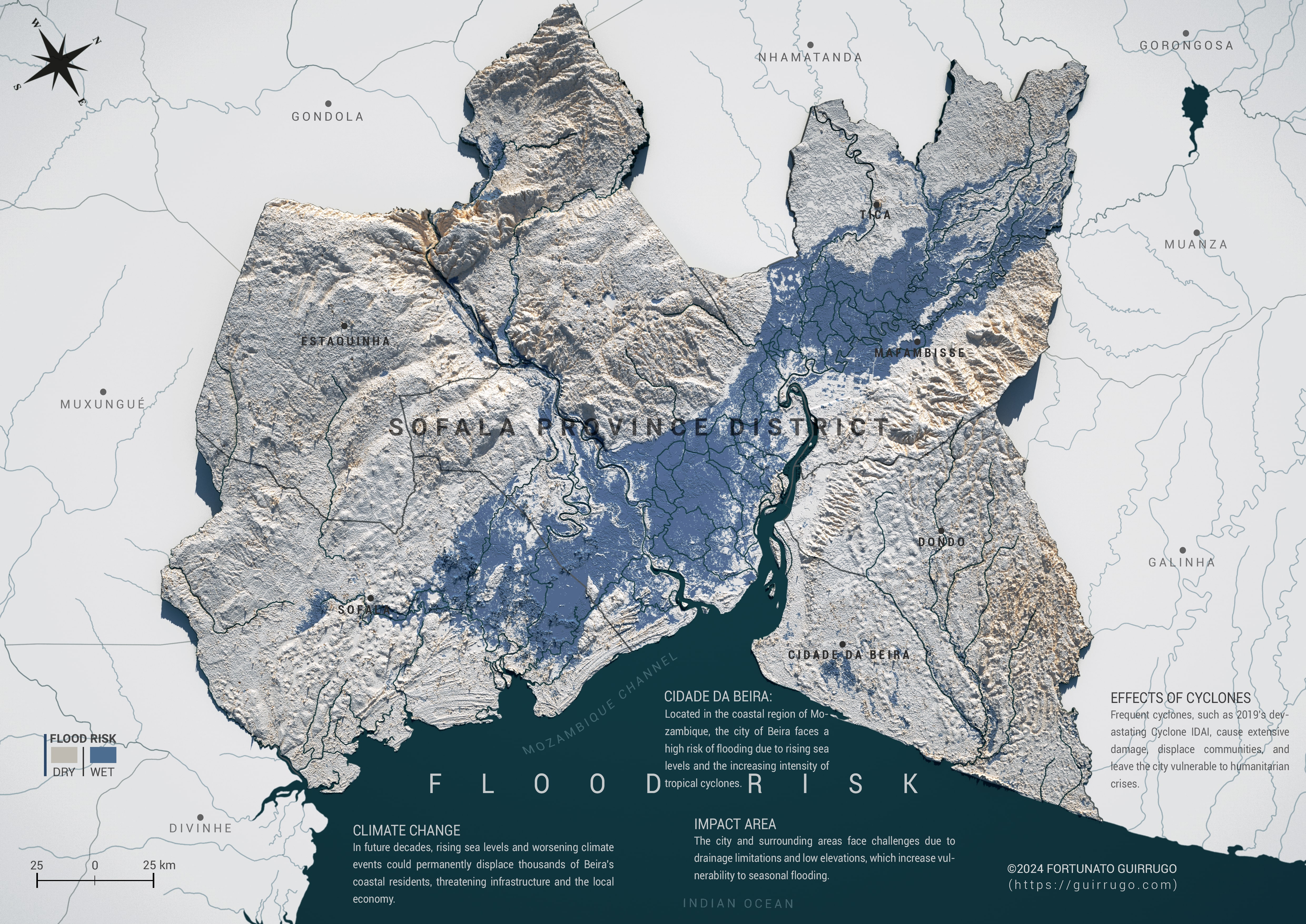
Flood Risk - Cidade da Beira, Buzi, Dondo, Tica, Mafambisse, Estaquinha, Sofala
July 30, 2024 • in SIG • 1 min read • 3 Comments
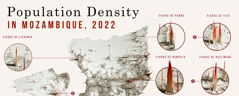
Analysis of Mozambique's Population
I'm excited to share another analysis, this time looking at the population distribution of our vast and beautiful Mozambique. This analysis was made possible... Read more »
July 11, 2024 • in SIG • 2 min read • 0 Comments
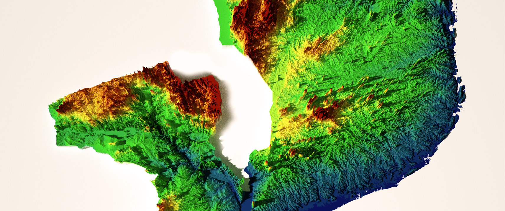
Mozambique's altitudes
I am glad to showcase this journey of analysis that I am developing on the elevation of Mozambique. This map illustrates the country's topography, highlighting altitude vari... Read more »
Geomatic Engineer at GeoSurvey, GeoEngenharia, Lda.

