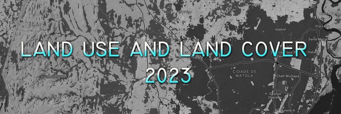
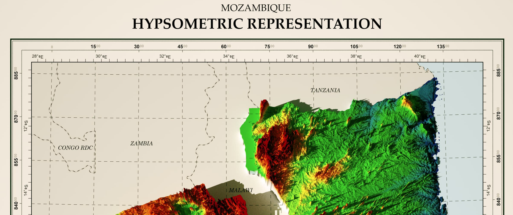
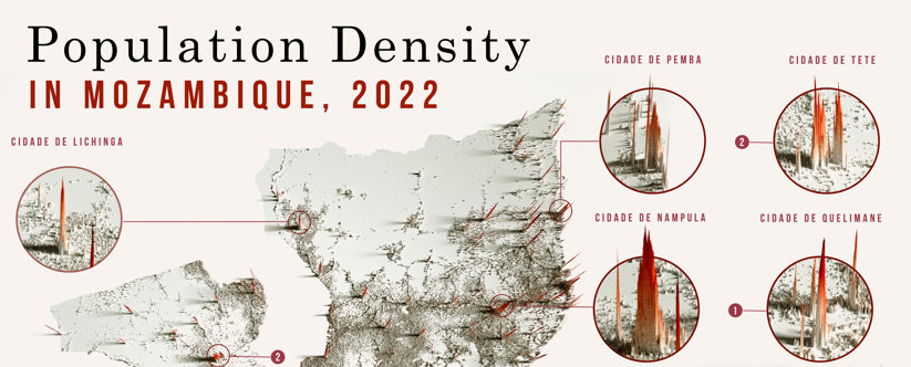
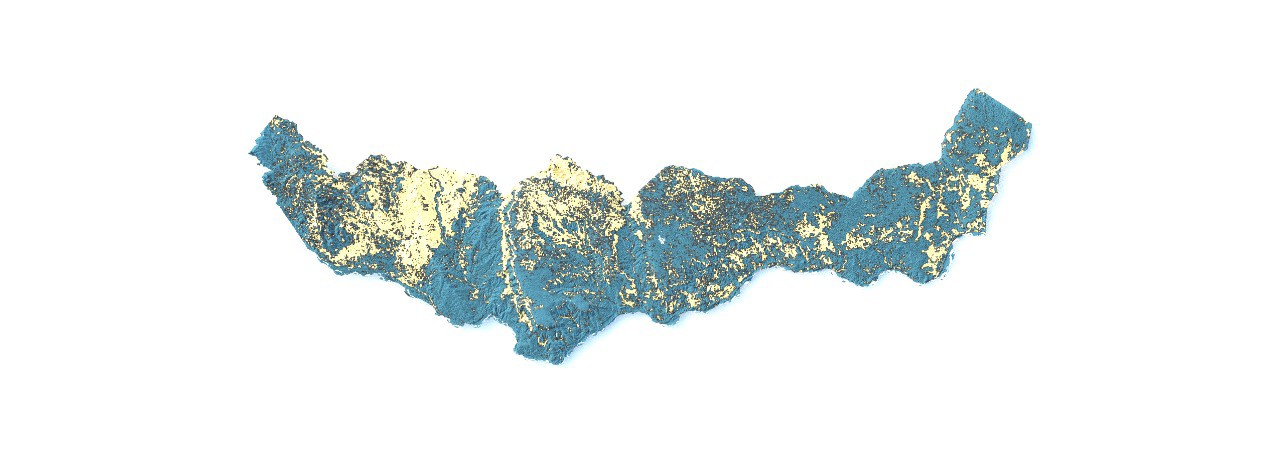
Excited to share another analysis of Mozambique's altitudes with a hypsometric Representation! The representation of elevation variations reveals the richness and div... Read more »

July 8, 2024 • in SIG • 0 min read • 0 Comments
Hypsometric Representation Lesotho, Africa
I am pleased to share my 3D elevation map of Lesotho, which presents a detailed representation of river systems using the HydroSHEDS dataset. This map illustrates not only Lesot... Read more »

July 1, 2024 • in SIG • 0 min read • 0 Comments
Analysis of Land Use and Cover in Cabo Delgado
The analysis of land use and land cover in Cabo Delgado highlights seven main categories: bare ground, flooded vegetation, crops, water, built area, rangeland, and trees.... Read more »
Geomatic Engineer at GeoSurvey, GeoEngenharia, Lda.


