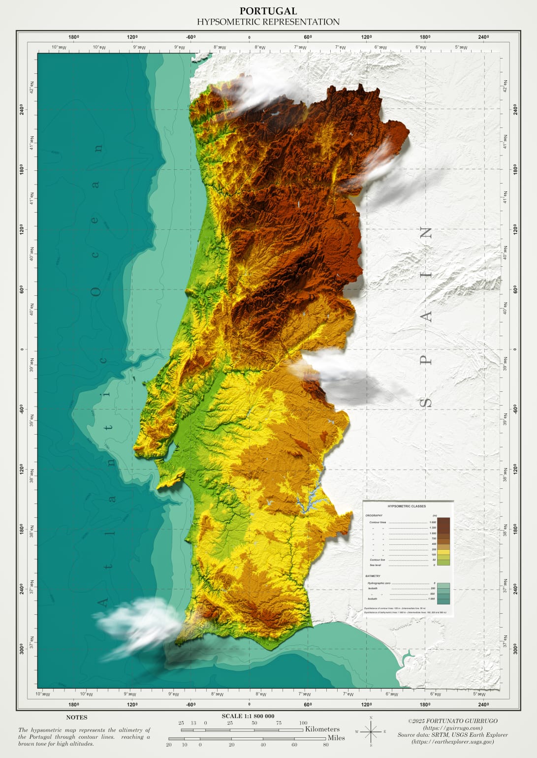
PORTUGAL – HYPSOMETRIC REPRESENTATION
February 14, 2025 | Posted byFortunato Guirrugo
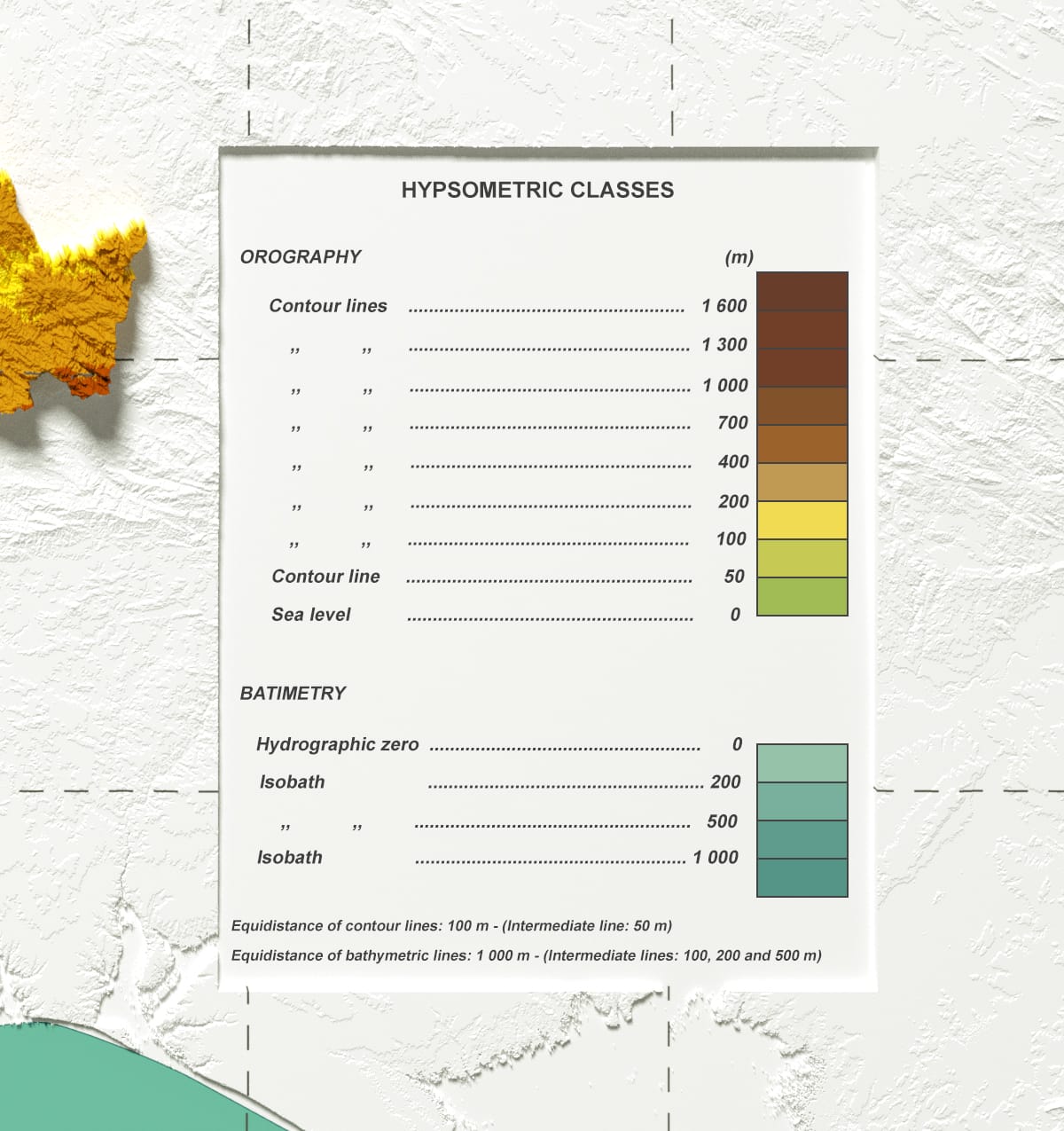
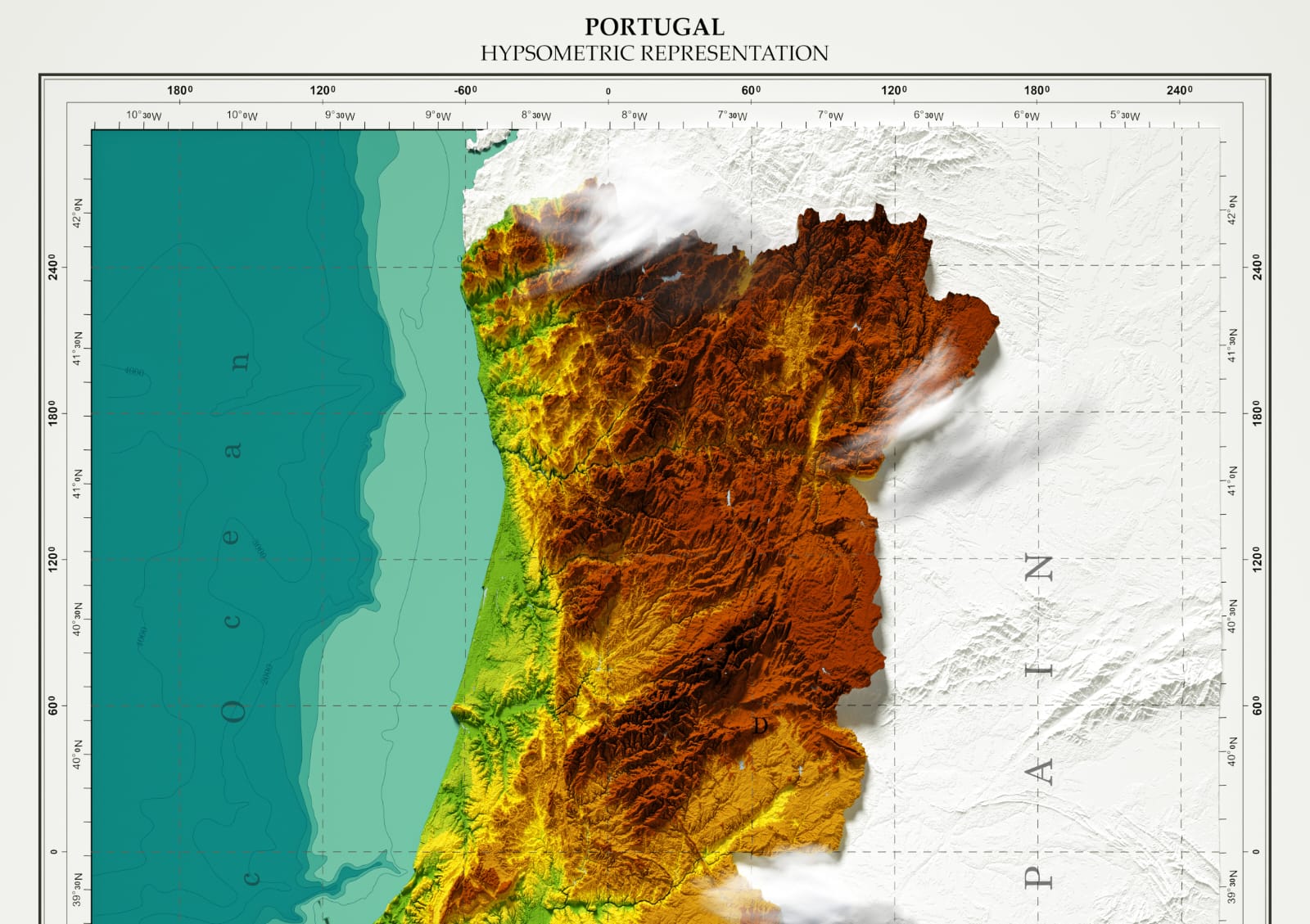
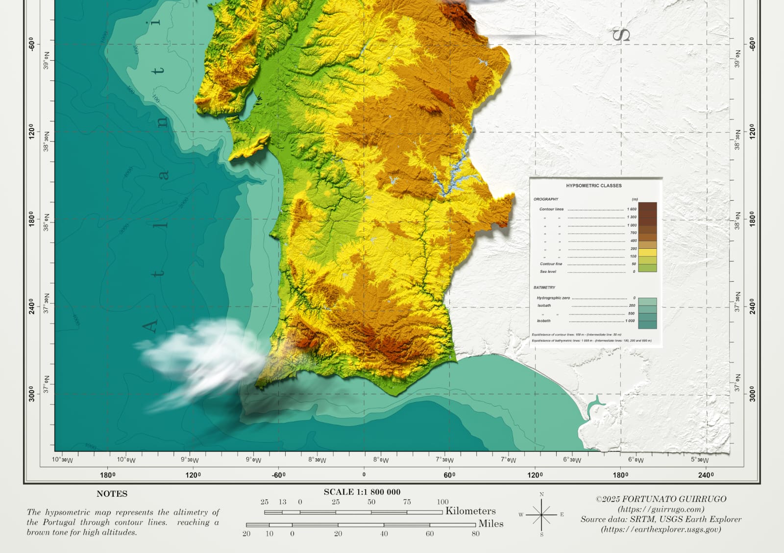
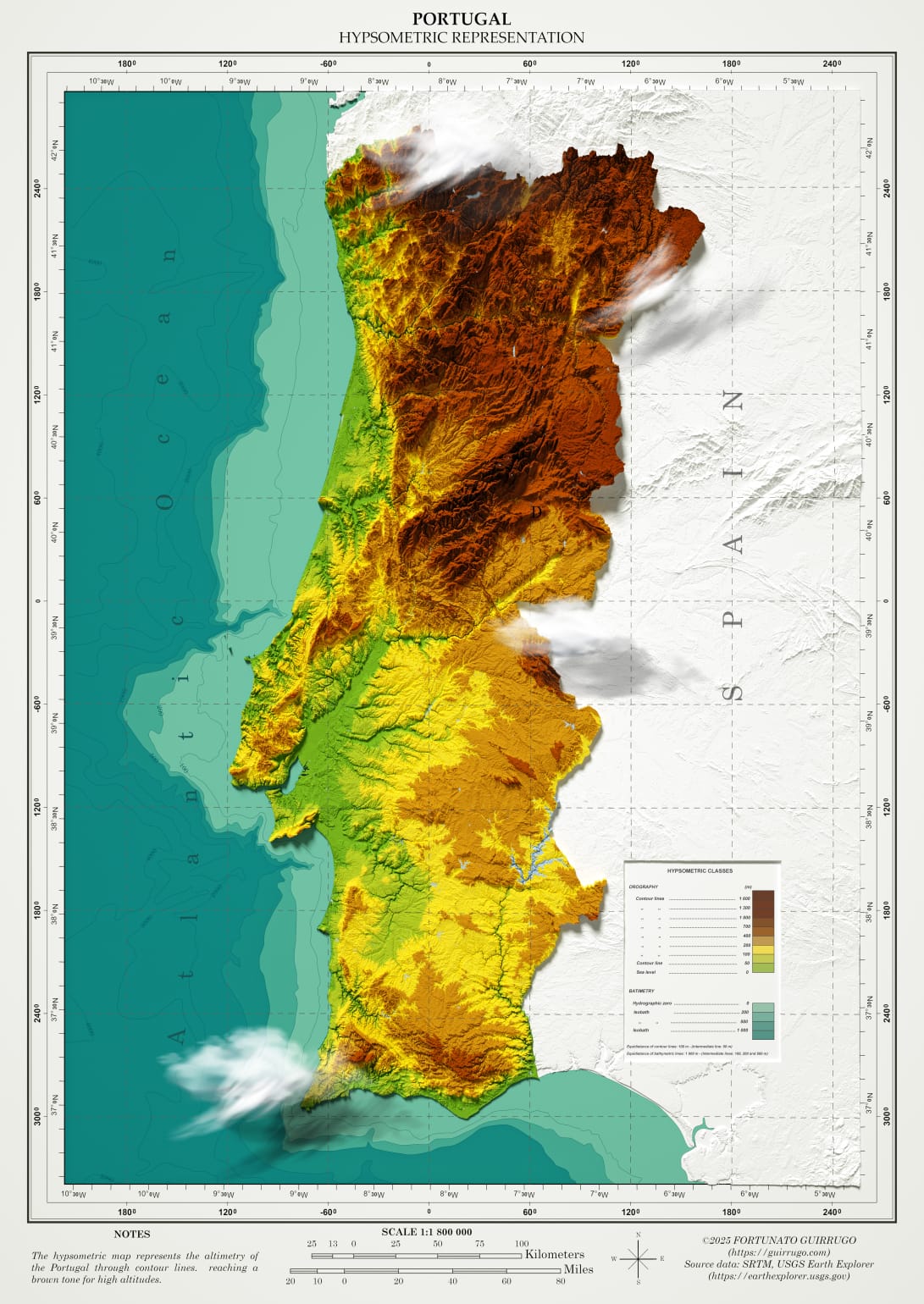
his map illustrates Portugal’s elevation variations using a color scale:
- Green represents low-altitude areas (up to 200m)
- Yellow and intermediate tones indicate moderate altitudes (200m - 1000m)
- Brown represents high-altitude regions (above 1000m)
- The ocean is shown in shades of blue, with variations indicating bathymetric depth.
- The highest mountainous areas are concentrated in the north and center of the country, such as the Serra da Estrela.
Geomatic Engineer at GeoSurvey, GeoEngenharia, Lda.

