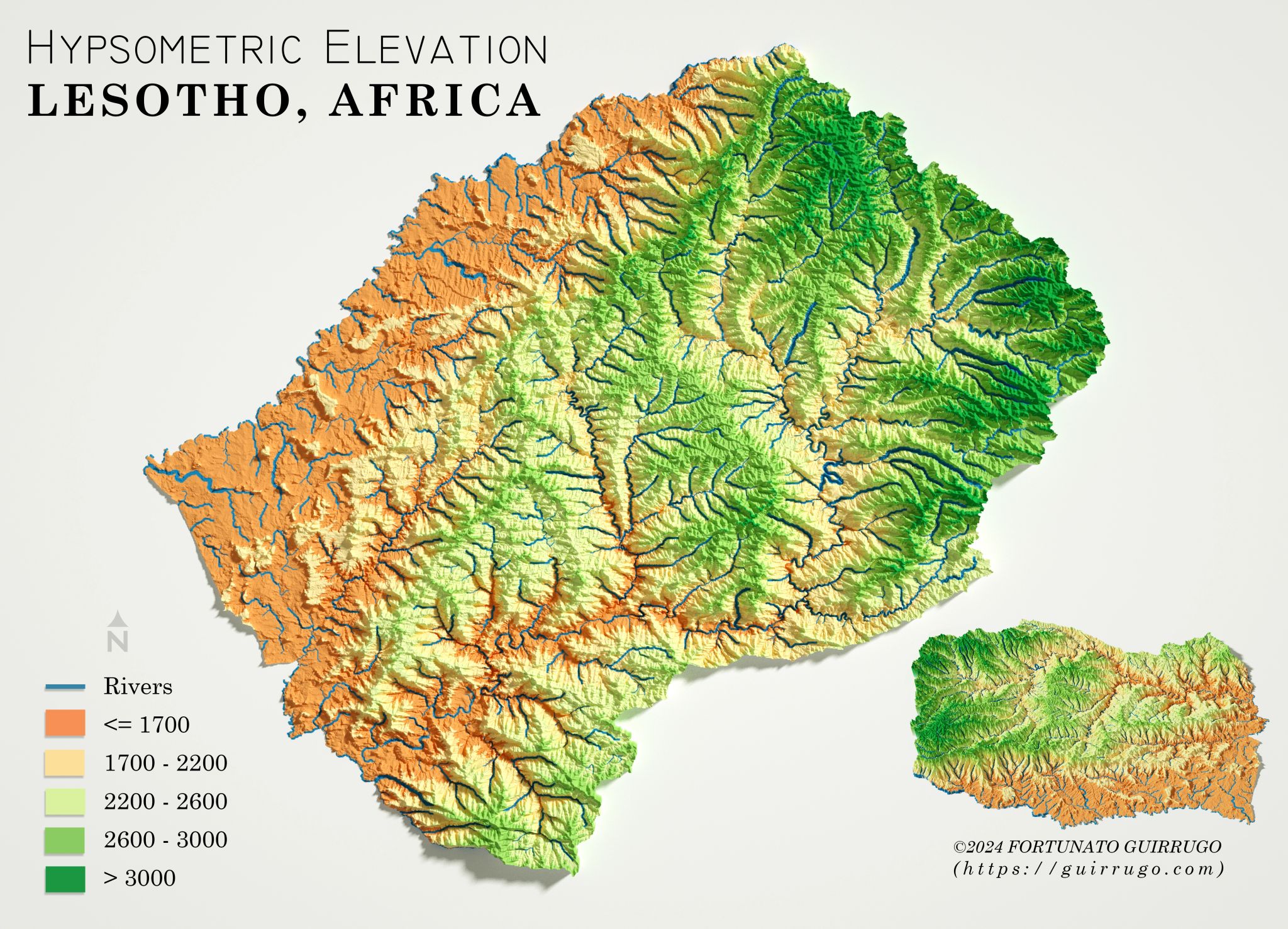
HYPSOMETRIC REPRESENTATION LESOTHO, AFRICA
July 8, 2024 | Posted byFortunato Guirrugo
I am pleased to share my 3D elevation map of Lesotho, which presents a detailed representation of river systems using the HydroSHEDS dataset. This map illustrates not only Lesotho's intricate network of rivers, but also the distinctive topography that shapes its landscape.

Geomatic Engineer at GeoSurvey, GeoEngenharia, Lda.


