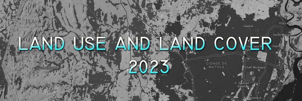
The analysis of land use and Land Cover in the Mocuba district highlighted seven main categories: water, crops, trees, built area, rangeland, bare ground and flooded vegetation.... Read more »
June 24, 2024 • in SIG • 0 min read • 2 Comments
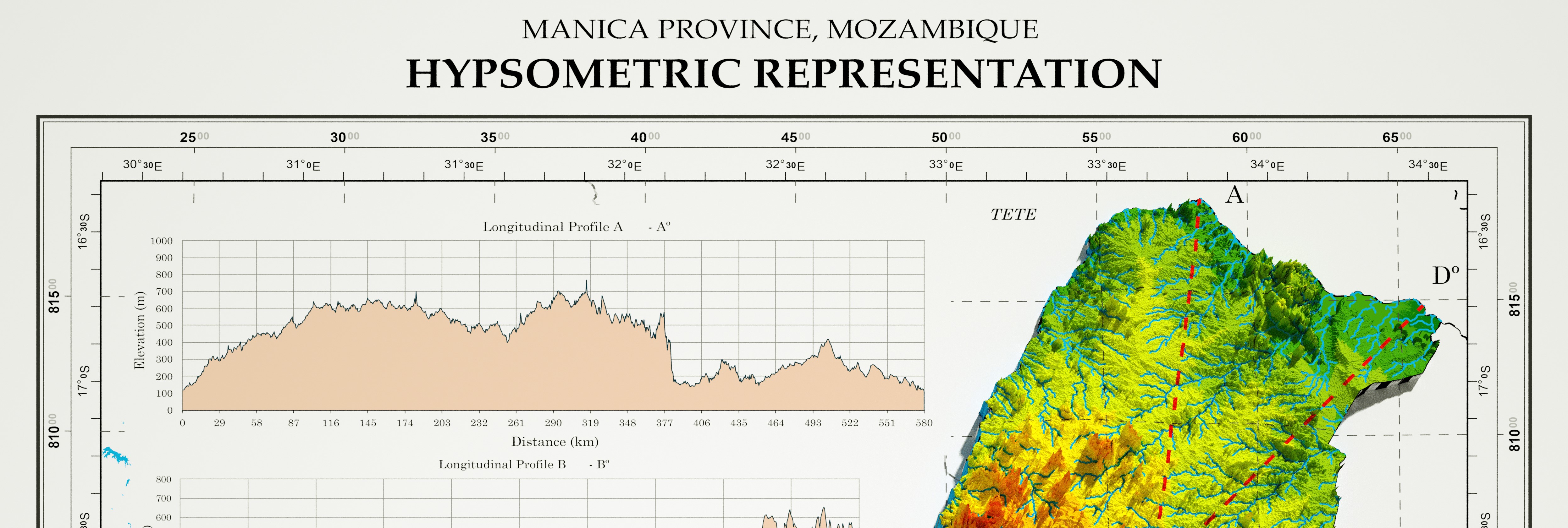
Hypsometric Representation of the Province of Manica
What is hypsometry? Hypsometry is the study and representation of the elevation of land above sea level. Through hypsometry, it is possible to create... Read more »

June 20, 2024 • in SIG • 0 min read • 0 Comments
Land Use and Cover in the Sabie
The analysis of land use and cover in the Sábiè highlights six main categories of land use: water, crops, trees, built area, rangeland and flooded... Read more »

Geomatic Engineer at GeoSurvey, GeoEngenharia, Lda.