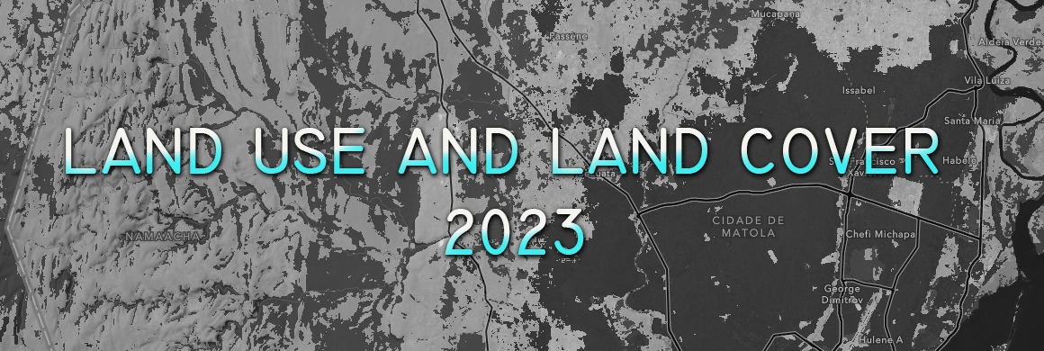
The analysis of land use and cover in the Boane District highlights six main categories of land use: water, crops, trees, built area, rangeland and flooded vegetation.... Read more »
June 8, 2024 • in SIG • 0 min read • 0 Comments
Geospatial Representation with R Studio
The use of geospatial analysis tools has become essential in various fields of knowledge, ranging from biology and ecology to engineering and urban planning. R Studio, an integr... Read more »
August 5, 2023 • in SIG • 0 min read • 0 Comments
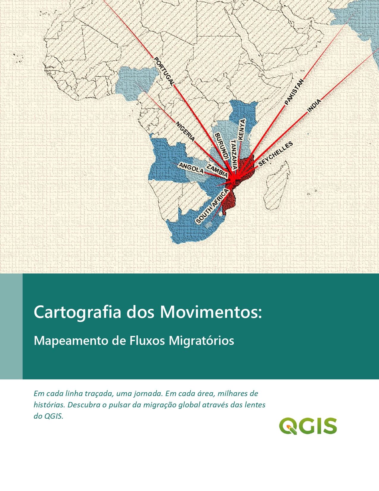
Cartografia Dos Movimentos: Mapeamento de Fluxos Migratórios
I share another detailed tutorial on how to create maps that illustrate migratory flows. An essential tool for anyone looking to understand the nuances of global migrations thro... Read more »

Geomatic Engineer at GeoSurvey, GeoEngenharia, Lda.